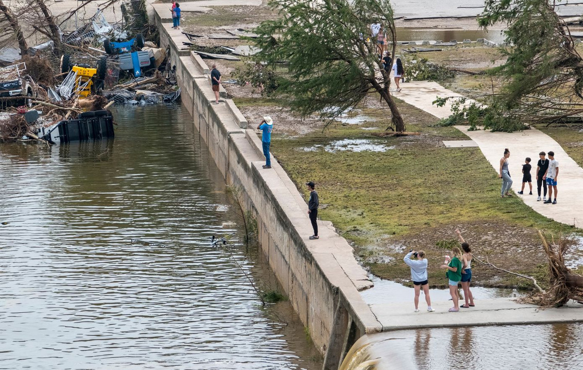
Google Maps updated satellite images for the mobile version of the platform and revealed the extent of the floods in Porto Alegre, in Rio Grande do Sul.
In the images, it is possible to observe the overflow of the Guaíba River that flooded the historic center of the capital of Rio Grande do Sul. Salgado Filho International Airport, Arena Grêmio and Beira-Rio appear taken over by water.
The Boulevard Laçador commercial space, home to the permanent “Varig Experience” exhibition, also has planes in the middle of the water.
Guaíba has dropped and has remained below the flood level, currently around 3.21 meters. The waters of the river reached 5.33 meters on May 5th and 5.20 meters in a second peak 9 days later.
The main concern for the Hydraulic Research Institute (IPH) of the Federal University of Rio Grande do Sul (UFGRS) is how the descent below the flood level will be and warns of fluctuations caused by the effect of winds and river inflows.
At the end of May, the cleaning operation began in the internal area of the Porto Alegre Public Market. Work had begun on the 23rd, but had to be stopped on the same day after the capital of Rio Grande do Sul was once again hit by heavy rain.
The height of the water in the historic Public Market building reached 1.70 meters – above what was recorded in the 1941 flood, which, until then, was the worst in the municipality’s history.
Salgado Filho airport is only expected to reopen in December 2024, according to the concessionaire Fraport, the company responsible for managing the location.
A CNN contacted Google to clarify the date of capture of the satellite images and is awaiting a response.
Source: CNN Brasil
I’m James Harper, a highly experienced and accomplished news writer for World Stock Market. I have been writing in the Politics section of the website for over five years, providing readers with up-to-date and insightful information about current events in politics. My work is widely read and respected by many industry professionals as well as laymen.


