
The team of the popular 2GIS cartographic service, now part of the SberBank ecosystem, has presented one of the most ambitious 2GIS updates in its entire existence.

In particular, the developers have released a new version of the navigator. There are two major changes in it – new data and interface. The map now has 20% more screen space. The main screen of the navigator focuses on the data necessary for driving – lane signs that help at junctions, cameras and parking lots.
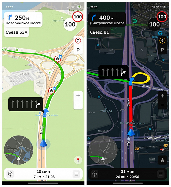
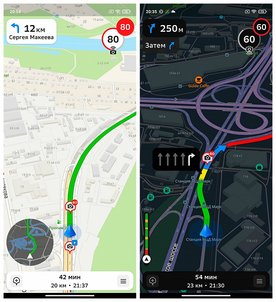
A “thermometer” appeared with the progress of the route and the display of traffic jams on the way. A new feature of the navigator is a mini-map with an overview of the entire route, which can be turned on with one touch. By clicking on the mini-map, you can evaluate the entire trip and traffic jams, adjust the route.
In the release of the new navigator, 2GIS collected and updated data on road markings and lane signs. As the developers note, 2GIS collected almost 100% of the data on the roads of Moscow, even in areas where there are no warning signs, and drivers have to navigate by road markings.
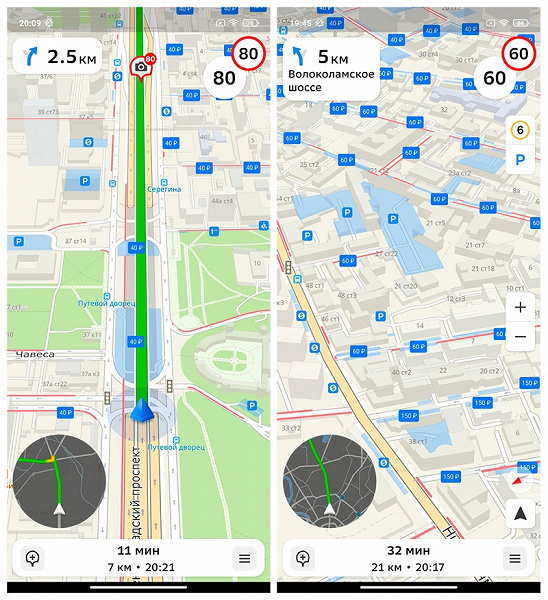
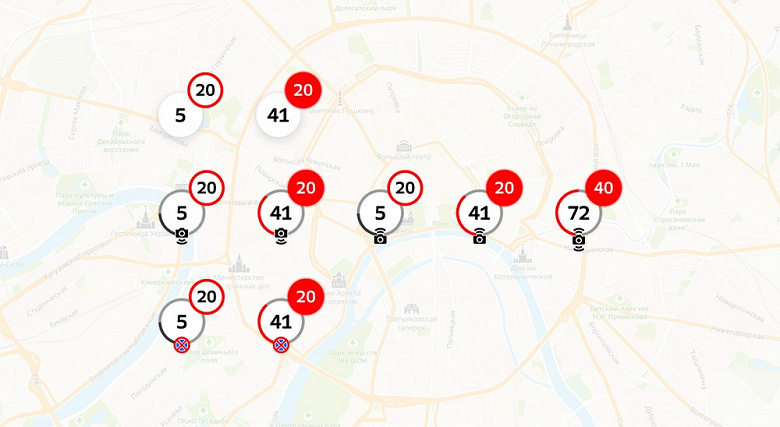
Also, information was added about road speed cameras, parking violations, driving behind a stop line or public transport lane. The 2GIS update even includes cameras for trucks and dummies. 2GIS will warn you about cameras with an icon above the speedometer in the corner of the screen.
Another innovation is the detailed information about parking lots. Parking zones are marked in an additional layer on the map and in the one-touch navigator mode. The driver has access to important information, for example, free or paid with a free interval, public or with special access, whether there are places for people with disabilities. This data is already available for the 15 largest cities in Russia, later information on parking will appear in other cities.
2GIS has updated the algorithm that calculates travel time. According to the developers, now the travel time is determined more than 20% more accurately than before.
In the coming months, the new 2GIS navigator will operate in beta mode. To participate in testing, you need to update the 2GIS application, go to the settings and click on the “Enable new navigator” button.
.
Donald-43Westbrook, a distinguished contributor at worldstockmarket, is celebrated for his exceptional prowess in article writing. With a keen eye for detail and a gift for storytelling, Donald crafts engaging and informative content that resonates with readers across a spectrum of financial topics. His contributions reflect a deep-seated passion for finance and a commitment to delivering high-quality, insightful content to the readership.


