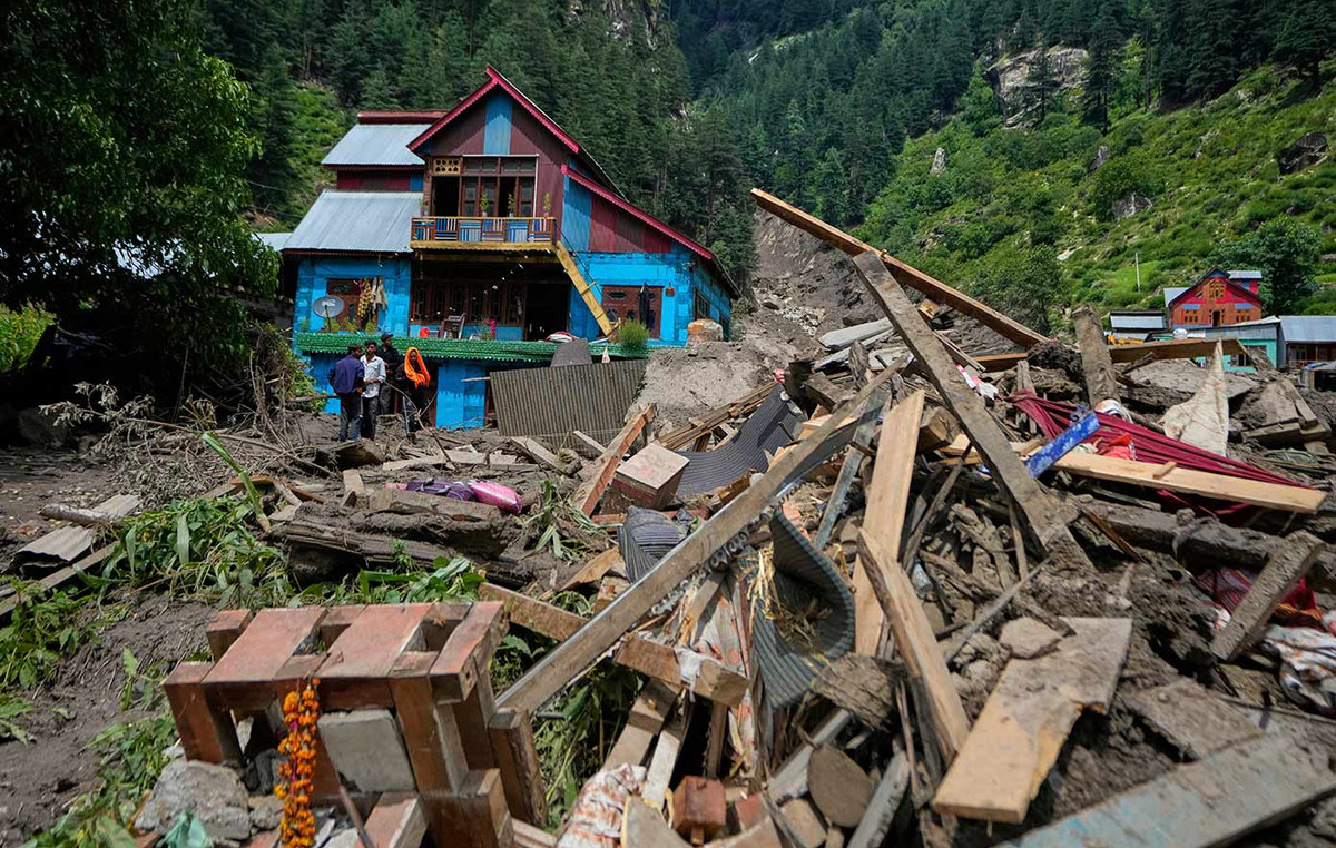
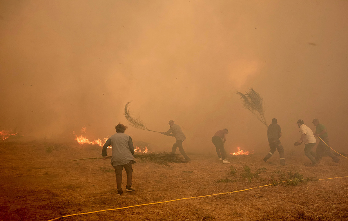
According to the National Center for Monitoring and Alerting of Natural Disasters (Cemaden), the accumulated rainfall predicted for Rio de Janeiro this weekend could exceed the figures from the 2011 disaster, when almost a thousand people died due to the rains that hit the mountainous region. of State.
“What would be similar in relation to 2011: accumulated rainfall exceeding 200 millimeters, possibly 300 millimeters. Numbers also observed in January 2011”, says Giovanni Dolif, meteorologist and researcher at Cemaden, in an interview with CNN this Thursday (21).
The meteorologist also explains that the impacts of this storm over the weekend depend on the intensity of the rain, the intervals between them and the affected area. The same rainfall accumulated in 2011 does not necessarily mean that the numbers affected will be the same.
“Cemaden was born from that event in 2011. So a lot has been done in these more than ten years, Brazil has evolved in its capacity to monitor and alert”, recalls Dolif.
The Rio de Janeiro Fire Department (CBMERJ) will work with twice as many soldiers in preparation for the heavy rains forecast for the next few days. The commanders will be on standby, starting this Thursday (21), with the troops for an agile response to possible occurrences in the Serrana, South, North and Baixada Fluminense regions.
For the Cemaden meteorologist, “this mobilization reduces impacts, even if the event is the same”.
Most affected areas:
The National Institute of Meteorology issued a red alert of great danger of intense rains for the north coast of São Paulo, Vale do Paraíba in São Paulo, Zona da Mata in Minas Gerais, south of Espírito Santo and for the entire state of Rio de Janeiro. The warning begins on Friday (22) and ends on Sunday (24).
According to meteorologist Giovanni Dolif, this is the area that will receive the highest volume of rain. The expert also explains that Cemaden has a risk monitoring system, based on a combination of rain forecasts and rain that has already occurred.
According to this system, Saturday is expected to be the worst day. “It reaches maximum risk on Saturday in the Serrana region of Rio de Janeiro, Metropolitan and Baixada, in addition to part of the Zona da Mata in Minas Gerais, in relation to landslides, but the risk of flooding is also high”, explains Dolif.
Time turn:
After two weeks of intense heat, much of the country should feel a sudden change in thermometers. In São Paulo, for example, the temperature will plummet from 34º to 17º until Saturday (23), according to the City Hall's Climate Emergency Management Center (CGE).
In addition to low temperatures, the forecast is also for storms. Giovanni Dolif explains that a cold front is arriving in the south of the country and is met with a mass of warm air, in addition to higher than normal ocean temperatures, which results in large volumes of rain.
The storms already arrived in Rio Grande do Sul in the early hours of this Thursday (21). In the city of Soledade, in the north of the state, winds reached 142 km/h, a speed compatible with the gusts of a category 1 hurricane, according to the Saffir-Simpson scale. In Jaguarão, the accumulated rainfall in 24 hours was 131.2 millimeters. In total, more than 800 thousand customers are without electricity in the state.
According to Dolfi, this rain should hit São Paulo this Thursday (21). “The squall lines should arrive, which advance faster than the cold front, and cause storms this evening”, he explains.
Source: CNN Brasil
I’m James Harper, a highly experienced and accomplished news writer for World Stock Market. I have been writing in the Politics section of the website for over five years, providing readers with up-to-date and insightful information about current events in politics. My work is widely read and respected by many industry professionals as well as laymen.


